Alexandroúpoli, Greece latitude longitude
Decimal latitude and longitude coordinates for Alexandroúpoli (Greece): 40.84995, 25.87644
More about Alexandroúpoli Lat-Long position
Alexandroúpoli is located in Greece country, in Europe continent (or region). DMS latitude longitude coordinates for Alexandroúpoli are: 40°50'59.82"N, 25°52'35.18"E.
• Latitude position:
Equator ⇐ 4542km (2822mi) ⇐ Alexandroúpoli ⇒ 5465km (3396mi) ⇒ North pole.
• Longitude position:
Prime meridian ⇒ 2168km (1347mi) ⇒ Alexandroúpoli. GMT: +3h.
• Local time in Alexandroúpoli: Friday 4:46 am, July 24, 2026. [*time info]

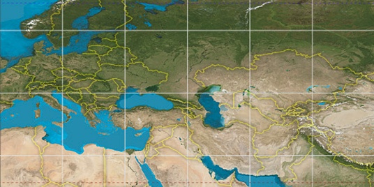

Step for grid lines is 15°. On second map 45° latitude and 30° longitude line is numbered. Map pointer shows the 40.85, 25.88 lat-long coordinates.
[*time info] Shown time is in moment when this page is generated. For more accurate time in Alexandroúpoli visit timein.org (new window).
© 2015 - LatitudeLongitude.org Terms of use - programmed by Igi