Victoria Falls, Zimbabwe latitude longitude
Decimal latitude and longitude coordinates for Victoria Falls (Zimbabwe): -17.93285, 25.83066
More about Victoria Falls Lat-Long position
Victoria Falls is located in Zimbabwe country, in Africa continent (or region). DMS latitude longitude coordinates for Victoria Falls are: 17°55'58.26"S, 25°49'50.38"E.
• Latitude position:
Equator ⇐ 1994km (1239mi) ⇐ Victoria Falls ⇒ 8013km (4979mi) ⇒ South pole.
• Longitude position:
Prime meridian ⇒ 2730km (1697mi) ⇒ Victoria Falls. GMT: +2h.
• Local time in Victoria Falls: Friday 1:44 am, July 24, 2026. [*time info]

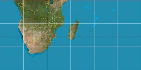

Step for grid lines is 15°. On second map -15° latitude and 30° longitude line is numbered. Map pointer shows the -17.93, 25.83 lat-long coordinates.
[*time info] Shown time is in moment when this page is generated. For more accurate time in Victoria Falls visit timein.org (new window).
© 2015 - LatitudeLongitude.org Terms of use - programmed by Igi