Saint Augustine Shores, United States latitude longitude
Decimal latitude and longitude coordinates for Saint Augustine Shores (United States): 29.8108, -81.31035
More about Saint Augustine Shores Lat-Long position
Saint Augustine Shores is located in United States country, in North America continent (or region). DMS latitude longitude coordinates for Saint Augustine Shores are: 29°48'38.88"N, 81°18'37.26"W.
• Latitude position:
Equator ⇐ 3315km (2060mi) ⇐ Saint Augustine Shores ⇒ 6692km (4158mi) ⇒ North pole.
• Longitude position:
Saint Augustine Shores ⇐ 7655km (4757mi) ⇐ Prime meridian. GMT: -4h.
• Local time in Saint Augustine Shores: Friday 9:22 pm, July 24, 2026. [*time info]

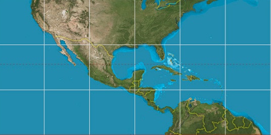

Step for grid lines is 15°. On second map 30° latitude and -75° longitude line is numbered. Map pointer shows the 29.81, -81.31 lat-long coordinates.
[*time info] Shown time is in moment when this page is generated. For more accurate time in Saint Augustine Shores visit timein.org (new window).
© 2015 - LatitudeLongitude.org Terms of use - programmed by Igi