Agana Heights Village, Guam latitude longitude
Decimal latitude and longitude coordinates for Agana Heights Village (Guam): 13.46559, 144.74795
More about Agana Heights Village Lat-Long position
Agana Heights Village is located in Guam country, in Oceania continent (or region). DMS latitude longitude coordinates for Agana Heights Village are: 13°27'56.12"N, 144°44'52.62"E.
• Latitude position:
Equator ⇐ 1497km (930mi) ⇐ Agana Heights Village ⇒ 8510km (5288mi) ⇒ North pole.
• Longitude position:
Prime meridian ⇒ 15111km (9389mi) ⇒ Agana Heights Village. GMT: +10h.
• Local time in Agana Heights Village: Saturday 7:31 am, July 25, 2026. [*time info]

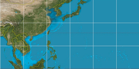

Step for grid lines is 15°. On second map 15° latitude and 150° longitude line is numbered. Map pointer shows the 13.47, 144.75 lat-long coordinates.
[*time info] Shown time is in moment when this page is generated. For more accurate time in Agana Heights Village visit timein.org (new window).
© 2015 - LatitudeLongitude.org Terms of use - programmed by Igi