Mansfield Woodhouse, United Kingdom latitude longitude
Decimal latitude and longitude coordinates for Mansfield Woodhouse (United Kingdom): 53.16495, -1.19384
More about Mansfield Woodhouse Lat-Long position
Mansfield Woodhouse is located in United Kingdom country, in Europe continent (or region). DMS latitude longitude coordinates for Mansfield Woodhouse are: 53°9'53.82"N, 1°11'37.82"W.
• Latitude position:
Equator ⇐ 5911km (3673mi) ⇐ Mansfield Woodhouse ⇒ 4096km (2545mi) ⇒ North pole.
• Longitude position:
Mansfield Woodhouse ⇐ 80km (49mi) ⇐ Prime meridian. GMT: +1h.
• Local time in Mansfield Woodhouse: Thursday 12:14 am, July 30, 2026. [*time info]

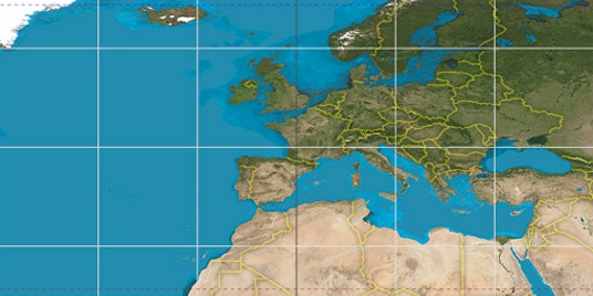

Step for grid lines is 15°. On second map 60° latitude and -0° longitude line is numbered. Map pointer shows the 53.16, -1.19 lat-long coordinates.
[*time info] Shown time is in moment when this page is generated. For more accurate time in Mansfield Woodhouse visit timein.org (new window).
© 2015 - LatitudeLongitude.org Terms of use - programmed by Igi