Uvira, Democratic Republic of the Congo latitude longitude
Decimal latitude and longitude coordinates for Uvira (Democratic Republic of the Congo): -3.39534, 29.13779
More about Uvira Lat-Long position
Uvira is located in Democratic Republic of the Congo country, in Africa continent (or region). DMS latitude longitude coordinates for Uvira are: 3°23'43.22"S, 29°8'16.04"E.
• Latitude position:
Equator ⇐ 378km (235mi) ⇐ Uvira ⇒ 9630km (5984mi) ⇒ South pole.
• Longitude position:
Prime meridian ⇒ 3234km (2010mi) ⇒ Uvira. GMT: +2h.
• Local time in Uvira: Monday 1:36 am, July 27, 2026. [*time info]

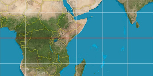

Step for grid lines is 15°. On second map -0° latitude and 30° longitude line is numbered. Map pointer shows the -3.4, 29.14 lat-long coordinates.
[*time info] Shown time is in moment when this page is generated. For more accurate time in Uvira visit timein.org (new window).
© 2015 - LatitudeLongitude.org Terms of use - programmed by Igi