Tomé Açu, Brazil latitude longitude
Decimal latitude and longitude coordinates for Tomé Açu (Brazil): -2.41889, -48.15222
More about Tomé Açu Lat-Long position
Tomé Açu is located in Brazil country, in South America continent (or region). DMS latitude longitude coordinates for Tomé Açu are: 2°25'8"S, 48°9'7.99"W.
• Latitude position:
Equator ⇐ 269km (167mi) ⇐ Tomé Açu ⇒ 9738km (6051mi) ⇒ South pole.
• Longitude position:
Tomé Açu ⇐ 5349km (3324mi) ⇐ Prime meridian. GMT: -3h.
• Local time in Tomé Açu: Friday 9:23 pm, July 24, 2026. [*time info]

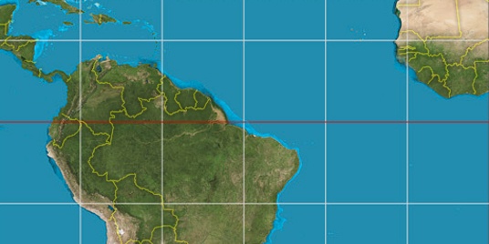

Step for grid lines is 15°. On second map -0° latitude and -45° longitude line is numbered. Map pointer shows the -2.42, -48.15 lat-long coordinates.
[*time info] Shown time is in moment when this page is generated. For more accurate time in Tomé Açu visit timein.org (new window).
© 2015 - LatitudeLongitude.org Terms of use - programmed by Igi