Stawell, Australia latitude longitude
Decimal latitude and longitude coordinates for Stawell (Australia): -37.05632, 142.78088
More about Stawell Lat-Long position
Stawell is located in Australia country, in Australia continent (or region). DMS latitude longitude coordinates for Stawell are: 37°3'22.75"S, 142°46'51.17"E.
• Latitude position:
Equator ⇐ 4120km (2560mi) ⇐ Stawell ⇒ 5887km (3658mi) ⇒ South pole.
• Longitude position:
Prime meridian ⇒ 10928km (6790mi) ⇒ Stawell. GMT: +10h.
• Local time in Stawell: Friday 9:11 pm, July 3, 2026. [*time info]

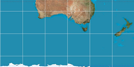

Step for grid lines is 15°. On second map -30° latitude and 150° longitude line is numbered. Map pointer shows the -37.06, 142.78 lat-long coordinates.
[*time info] Shown time is in moment when this page is generated. For more accurate time in Stawell visit timein.org (new window).
© 2015 - LatitudeLongitude.org Terms of use - programmed by Igi