Anār Darah, Afghanistan latitude longitude
Decimal latitude and longitude coordinates for Anār Darah (Afghanistan): 32.7587, 61.65397
More about Anār Darah Lat-Long position
Anār Darah is located in Afghanistan country, in Asia continent (or region). DMS latitude longitude coordinates for Anār Darah are: 32°45'31.32"N, 61°39'14.29"E.
• Latitude position:
Equator ⇐ 3642km (2263mi) ⇐ Anār Darah ⇒ 6365km (3955mi) ⇒ North pole.
• Longitude position:
Prime meridian ⇒ 5677km (3527mi) ⇒ Anār Darah. GMT: +4.5h.
• Local time in Anār Darah: Sunday 6:33 am, May 19, 2024. [*time info]
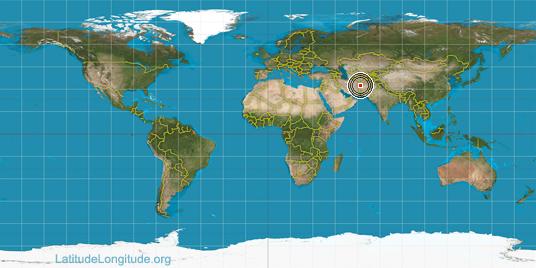
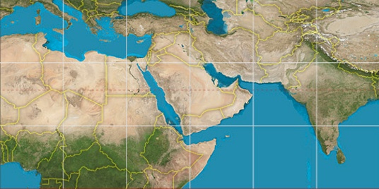

Step for grid lines is 15°. On second map 30° latitude and 60° longitude line is numbered. Map pointer shows the 32.76, 61.65 lat-long coordinates.
[*time info] Shown time is in moment when this page is generated. For more accurate time in Anār Darah visit timein.org (new window).
© 2015 - LatitudeLongitude.org Terms of use - programmed by Igi